Loch lomond a the trossachs xt25
Pro vyhledávací frázi Loch lomond a the trossachs xt25 jsme na našem vyhledávači našli 10 výsledků. Nenašli jste přesně to, co jste hledali? Zkuste frázi Loch lomond a the trossachs xt25 trochu pozměnit a opět zadat do vyhledávacího pole. Pevně věříme, že produkt, který hledáte v naší nabídce na srovnávači CoChceš.cz naleznete!
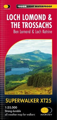
Loch Lomond a The Trossachs XT25
Detailed Superwalker map for walkers of Loch Lomond a the Trossachs National Park at 1:25,000 scale.
Více informací
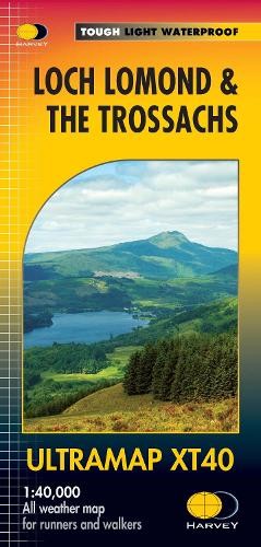
Loch Lomond a The Trossachs
The Ultramap covers a large area yet is small enough to slip in a pocket.It is a fully detailed genuine original HARVEY map. The Ultramap is tough, li
Více informací
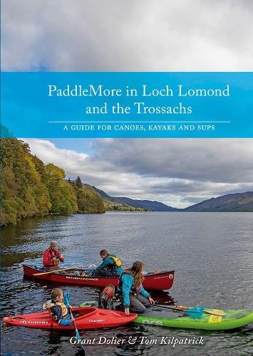
PaddleMore in Loch Lomond and The Trossachs
A guide for caoeing, kayaking and SUPs in Loch Lomond a The Trossachs National Park. Includes hardcore white water, multi-day touring trips or a rela
Více informací
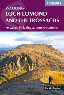
Walking Loch Lomond and the Trossachs
A guide to walking and scrambling routes in the beautiful Loch Lomond and the Trossachs National Park. Over 70 graded low-level, mid-level and mountai
Více informací
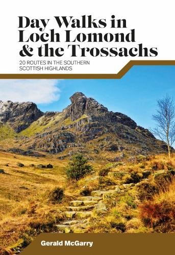
Day Walks in Loch Lomond a the Trossachs
Day Walks in Loch Lomond a the Trossachs by Gerald McGarry features 20 routes suitable for hillwalkers of all abilities. Together with stunning photog
Více informací

Ordnance Survay vydavatelství mapa Loch Lomond north, The Trossachs NP, Tyndrum, Crianlarich,
Oboustranná turistická mapa s podrobným topografickým podkladem od vydavatelství Ordance Survey. Zobrazuje oblast skotského národního parku Loch Lomond & The Trossachs. Obsahuje turistické a cykloturistické značení, zaznačeny dálkové turistické trasy. Výškopis pomocí vrstevnic po 10 metrech, souřadnice pro GPS OSGB 1936. Zdůrazněny turisticky zajímavé lokality, nebezpečná...
Více informací
Ordnance Survay vydavatelství mapa Loch Lomond and The Trossachs NP, Inveraray 1:50 t.
Jednostranná turistická mapa s podrobným topografickým podkladem od vydavatelství Ordnance Survey. Obsahuje turistické a cykloturistické značení, např. "West Highland Way". Výškopis pomocí vrstevnic po 10 metrech, souřadnice pro GPS WGS 84. Vymezené území: JV-Gartocharn, JZ-Loch Tarsan, SZ-Loch Awe, Portsonachan, SV-Cruach Ardrain. Vydání 2016.
Více informací
Ordnance Survay vydavatelství mapa The Trossachs NP, Callander, Aberfoyle, Lochearnhead, Balq
Oboustranná turistická mapa s podrobným topografickým podkladem od vydavatelství Ordance Survey. Zobrazuje oblast skotského národního parku Loch Lomond & The Trossachs. Obsahuje turistické a cykloturistické značení, zaznačeny dálkové turistické trasy. Výškopis pomocí vrstevnic po 10 metrech, souřadnice pro GPS OSGB 1936. Zdůrazněny turisticky zajímavé lokality, nebezpečná...
Více informací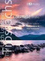
Lochside Walks
This attractive and cleverly structured guide gives walkers ten of the finest short circular lochside walks in the Loch Lomond a The Trossachs Nationa
Více informací
Podobné fráze: walks loch lomond a the trossachs | loch lomond and the trossachs | loch lomond a the trossachs | walking loch lomond and the trossachs | loch lomond the trossachs | loch lomond a cowal way | loch lomond a inveraray | stirling a the trossachs | ada and the loch | at the loch of the green corrie | flash harriet and the loch ness monster | doctor who and the loch ness monster